manturs.narod.ru
confluence.org
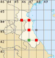
К моим визитам
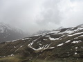
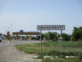
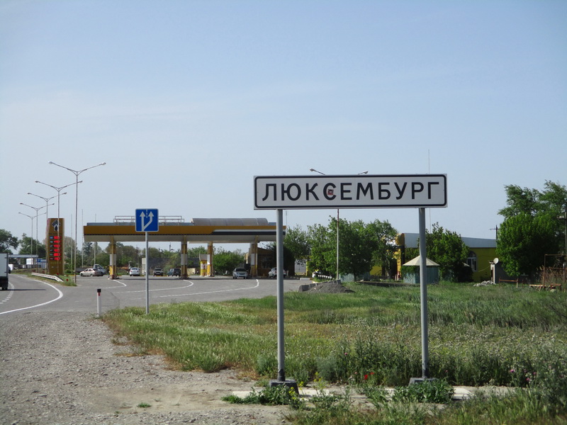
5-мая-2022 – После 45°N 47°E отправились к Дагестанскому селу Бурши. По дороге заехали в Люксембург… Степной Дагестан совершенно не впечатлил, но горная часть вызвала восторг. Пересекли два хребта, перевал Волчьи Ворота проходили в плотном тумане. До Бурши доехать не удалось. На ночлег встали в уютном кармане у каньона реки Чараних.
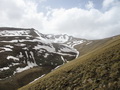
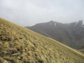
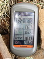
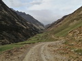
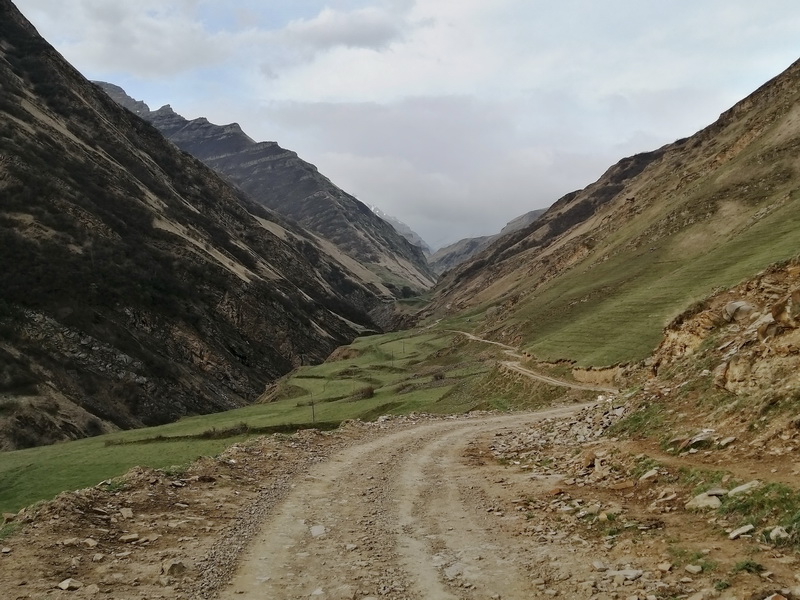
Утром по красивому ущелью доехали до села Бурши. Вернулись к пешеходному мосту через реку Бурши. Местный охотник подсказал место, где можно безопасно (камнепады) припарковать машины. По Казикумухскому Койсу поднимались по хорошей тропе. Мосты есть и через Койсу и через приток Чаравали. Первые 8 километров уклон долины не велик и набор высоты составляет всего 200-250 метров. За последние 2,7 км мы набрали более 700 метров. Крутизна последнего склона местами превышает 30 градусов. Максимальная высота 3020 метров. Всего от парковки до парковки прошли 22 километра.
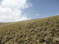
Точка расположена в Лакском районе республики Дагестан. Ближайший населённый пункт – село Бурши в 6,1 км на северо-востоке. Местность горная, по пути встречается снег. Кустов и деревьев нет, только трава.
Следующая точка - 43°N 44°E.
5-May-22 –After the confluence 45°N 47°Ewe went to the Dagestan village Burshi. We stopped in Luxembourg village on the way. The steppe of Dagestan did not impress us at all, but the mountain part was delightful. We crossed two mountain ridges. The Wolf Gate Pass was crossed in dense fog. We couldn't get to Bursha. We camped for the night in a cozy pocket near the canyon of the Charanikh River.
In the morning we drove along a beautiful gorge to Burshi village. We returned to the pedestrian bridge over the Burshi River. A local hunter suggested a place where it is safe to park the cars (no rockfalls). We climbed the Kazikumukh Koisu by a good path. There are bridges across the Koisu and across the Charavali tributary. The first 8 kilometers of the slope of the valley are not steep and the climb is only 200-250 meters. We elevated over 700 meters in the last 2.7 km. The steepness of the last slope in some places exceeds 30 degrees. The maximum height is 3020 meters. We walked 22 kilometers from one parking to the other.
The confluence is located in the Laksky district of the Republic of Dagestan. The nearest settlement is Burshi village 6.1 km to the northeast. The terrain is mountainous, there is snow along the way. There are no bushes or trees, only grass.
The next point is 43°N 44°E.
Пишите на |
||